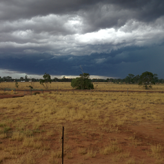
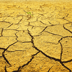
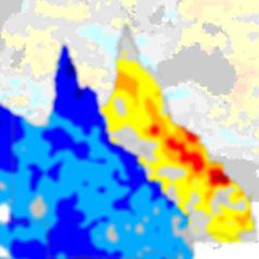
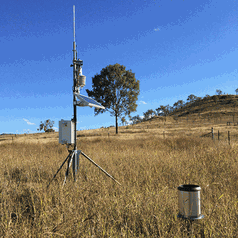
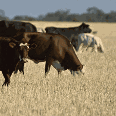
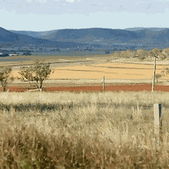
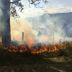
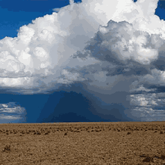
Long Paddock

Features

  • Climate Change Risk Management Matrix

    Using a risk management approach, this tool can help you address the uncertainties around the scale and distribution of current and future climate change impacts. The Workbook and eWorkbook follow a structured process that will guide you in identifying risks, opportunities and possible adaptation responses. It is suitable for all levels of industry and business, regional groups and local governments.

    Read more…

  • Improved Coastal Mapping

    The Queensland Climate Change Centre of Excellence's Improved Coastal Mapping Project will help identify vulnerable areas of the Queensland coast and visualise the impacts of climate change.

    Read more…

  • SPOTA-1

    SPOTA-1 (Seasonal Pacific Ocean Temperature Analysis version 1) monitors Pacific Ocean sea surface temperatures (SSTs) from March to October each year and, on this basis, provides long-lead 'outlooks' for Queensland summer (November to March) rainfall.

    Read more…

  • FORAGE

    FORAGE is a web-based system which generates, analyses and distributes information relating to climate and pasture condition at user-specified locations.

    Read more…

  • AussieGRASS

    The AussieGRASS project uses advanced spatial simulation techniques and supercomputing facilities to build on the research and experience of many of Australia's leading agronomists in developing a system for assessing and monitoring the condition of Australia's extensive grazing lands.

    Read more…

Pause

Latest Southern Oscillation Index (SOI) values

Date: 13 February 2012

Average SOI for last 30 days: 10.4

Average SOI for last 90 days: 13.7

Daily contribution to SOI calculation: -7.7

More SOI data >>

Monthly average SOI values
November12.4
December22.2
January9.6

Latest maps

Rainfall and pasture growth maps
sample of a rainfall and pasture growth map

Sea surface temperature variation
sample of a sea surface temperature map

Silo logo Consistent Climate Scenarios logo Forage logo AussieGRASS logo SPOTA logo Improved Coastal Mapping logo